Subdivision, Rezoning & Development Permit Support for Landowners in Kelowna & the Okanagan
You own the land. We’ll run the approval process. From the first GIS check through subdivision registration or permit issuance, with one person in your corner the whole way.
The Gap Most Property Owners Hit
You own a property with potential. Maybe it’s a half-acre with room to subdivide. Maybe it’s a lakefront lot that needs a new driveway and a permit you’ve never heard of. Maybe it’s an acreage you’ve been sitting on and want to put to better use.
You start asking questions. The City sends you links to bylaws. A consultant you call uses words you don’t recognize. A surveyor quotes you on a plan of subdivision but mentions you’ll also need a civil engineer, and possibly a geotechnical engineer, and definitely a Development Permit application that nobody had previously mentioned. You realize the approval process wasn’t designed for property owners. It was designed for professional developers who already know the language, have a team of consultants, and have done this before.
That’s the gap Ascend fills. We provide development support for property owners in Kelowna, Vernon, Lake Country, West Kelowna, Penticton, and across the Okanagan. You stay focused on your property and your goals. We run the application process. We assemble the right consultants. We translate everything the City sends back. We’re the single point of contact who makes sure nothing falls through the cracks.

What Property Owners Hire Us For
Most of our landowner files fall into one of these scenarios:
Small Subdivisions: You want to carve a lot off your acreage, split a duplex lot, or subdivide your property into two, three, or four lots. The application sounds straightforward. The work behind it (servicing, surveying, civil design, lot plan, road dedication, easements, statutory rights of way, conditions to clear) is not. We run it.
Single-Property Rezoning: Your property is zoned for one use, but you want to do something different. Maybe you want to add a second dwelling. Maybe the OCP designation supports a different zoning category and you want to align them. Maybe you’re trying to enable a future subdivision that current zoning won’t allow. We handle the rezoning application from concept through public consultation to council approval.
Development Permit Applications: Your property sits inside one or more Development Permit Areas (more on those in the next section), and the City requires a DP before you can build, grade, install a driveway, or disturb the site. We prepare and lead the DP application: which DPs you need, which studies are required, which consultants you’ll hire, and what the City needs to issue the permit.
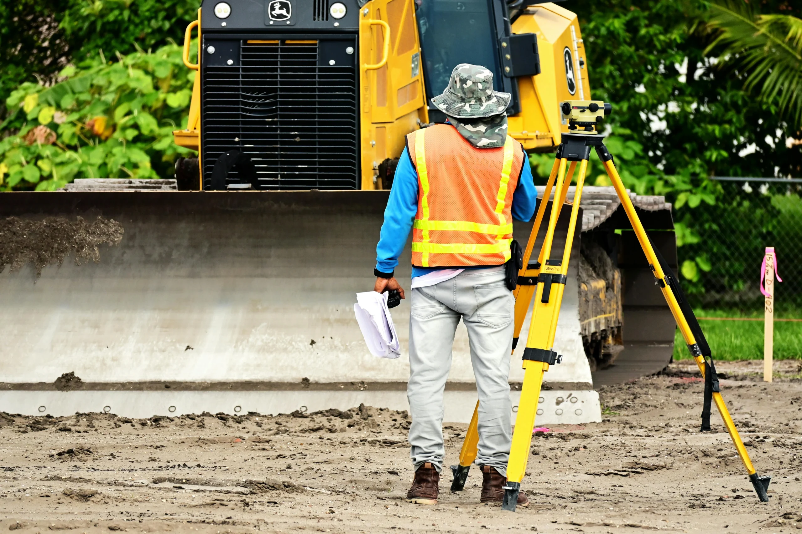
New Driveway and Access Applications: A new driveway off a public road or a change in access can trigger Development Permit requirements, Ministry of Transportation approvals, geotechnical analysis, environmental review, and civil design work. The Dubbin Road case study in Section 6 is one of these.
OCP Amendments: If your development vision doesn’t fit the property’s current Official Community Plan designation, you’ll need an OCP amendment before (or alongside) a rezoning. These are bigger files than straight rezoning and they need to be positioned and supported correctly to succeed at council.
Stalled or Rejected Applications: You started something on your own or with a consultant and it’s now stuck, confusing, or rejected. We step in, figure out what went wrong, and establish a real path forward.
Across all of these, our job is to be the person who owns the file from concept through approval, so you’re not the one trying to coordinate a half-dozen specialists on top of your day job.
When a Feasibility Study Comes First: Many of these scenarios start with a feasibility study before any application work begins. We’ll often recommend one when your situation looks like one of these:
- You’re considering subdividing but want to know whether the math actually supports it. A Kelowna property owner came to us recently on exactly this scenario, a 1-to-3-lot subdivision review on their property. We pulled City requirements, coordinated with engineers for preliminary input, and produced a recommendation. The owner is now moving into the pre-application stage with us managing the zoning amendment and subdivision applications.
- You’ve inherited a piece of land or co-own with siblings or partners and have to decide what to do with it. If you have inherited a property and are wondering what can be done with it, we can help you review all the options. Subdivide for the owners. Position the property for development upside and list it. Hold and wait. A feasibility study lays out each direction’s realistic cost, timeline, and likely outcome so the owners can make an informed decision together.
- You’re thinking about positioning a property for a development-aware buyer. You’re considering investing in permitting work to position a property for sale and want to know whether the upside justifies the upfront cost. The feasibility study quantifies what permitting unlocks, what it would cost, and what the residual land value picture actually looks like.
A feasibility study is a scoped, time-bound engagement with its own deliverable. After it, you decide what to do next, with our help running whichever path you choose.
Development Permit Areas: The Step Most Owners Skip
Every property in Kelowna and the Okanagan sits inside a set of Development Permit Areas (DP Areas) defined by the municipality's Official Community Plan. A DP Area triggers additional requirements before the City will issue a permit. Sometimes those requirements are minor. Sometimes they involve thousands of dollars of specialist studies and multiple consultants. Common DP Areas in the Okanagan:
Hazardous Condition DP Area
Property is in a hillside, steep slope, rockfall, or other natural-hazard zone. Triggers a geotechnical report and may dictate building envelope, foundation design, and site servicing.
Environmental / Natural Environment DP Area
Property is in or adjacent to sensitive ecosystems, riparian zones, or wildlife corridors. Triggers a biologist's environmental assessment and may restrict site disturbance, vegetation removal, or access location.
Watercourse / Riparian DP Area
Property is within a regulated distance of a creek, stream, lake, or wetland. Triggers Riparian Areas Regulation assessment, often by a Qualified Environmental Professional.
Form and Character DP Area
Property is in a designated commercial, multi-family, or mixed-use area where building form and design must be approved by the City.
Hillside DP Area
Property is on a slope, typically with grading, drainage, and aesthetic requirements layered on top of standard zoning rules.
Wildfire Hazard DP Area
Property is in a wildfire interface zone. Triggers FireSmart compliance, vegetation management, and building material requirements.
A single property can sit in multiple DP areas at once. A lakefront lot on a hillside might trigger Hazardous Condition, Hillside, Environmental, Riparian, and Wildfire DP areas, each with its own required studies and consultants. Most property owners don't know any of this until the City sends back a deficiency letter listing six requirements they'd never heard of.
Development Permit Areas: The Step Most Owners Skip
Every property in Kelowna and the Okanagan sits inside a set of Development Permit Areas (DP Areas) defined by the municipality's Official Community Plan. A DP Area triggers additional requirements before the City will issue a permit. Sometimes those requirements are minor. Sometimes they involve thousands of dollars of specialist studies and multiple consultants. Common DP Areas in the Okanagan:
Hazardous Condition DP Area
Property is in a hillside, steep slope, rockfall, or other natural-hazard zone. Triggers a geotechnical report and may dictate building envelope, foundation design, and site servicing.
Environmental / Natural Environment DP Area
Property is in or adjacent to sensitive ecosystems, riparian zones, or wildlife corridors. Triggers a biologist's environmental assessment and may restrict site disturbance, vegetation removal, or access location.
Watercourse / Riparian DP Area
Property is within a regulated distance of a creek, stream, lake, or wetland. Triggers Riparian Areas Regulation assessment, often by a Qualified Environmental Professional.
Form and Character DP Area
Property is in a designated commercial, multi-family, or mixed-use area where building form and design must be approved by the City.
Agricultural Land Reserve (ALR)
Property is in the ALR. Triggers Agricultural Land Commission applications and additional review for non-farm use, subdivision, or development.
Wildfire Hazard DP Area
Property is in a wildfire interface zone. Triggers FireSmart compliance, vegetation management, and building material requirements.
Hillside DP Area
Property is on a slope, typically with grading, drainage, and aesthetic requirements layered on top of standard zoning rules.
A single property can sit in multiple DP areas at once. A lakefront lot on a hillside might trigger Hazardous Condition, Hillside, Environmental, Riparian, and Wildfire DP areas, each with its own required studies and consultants. Most property owners don't know any of this until the City sends back a deficiency letter listing six requirements they'd never heard of.
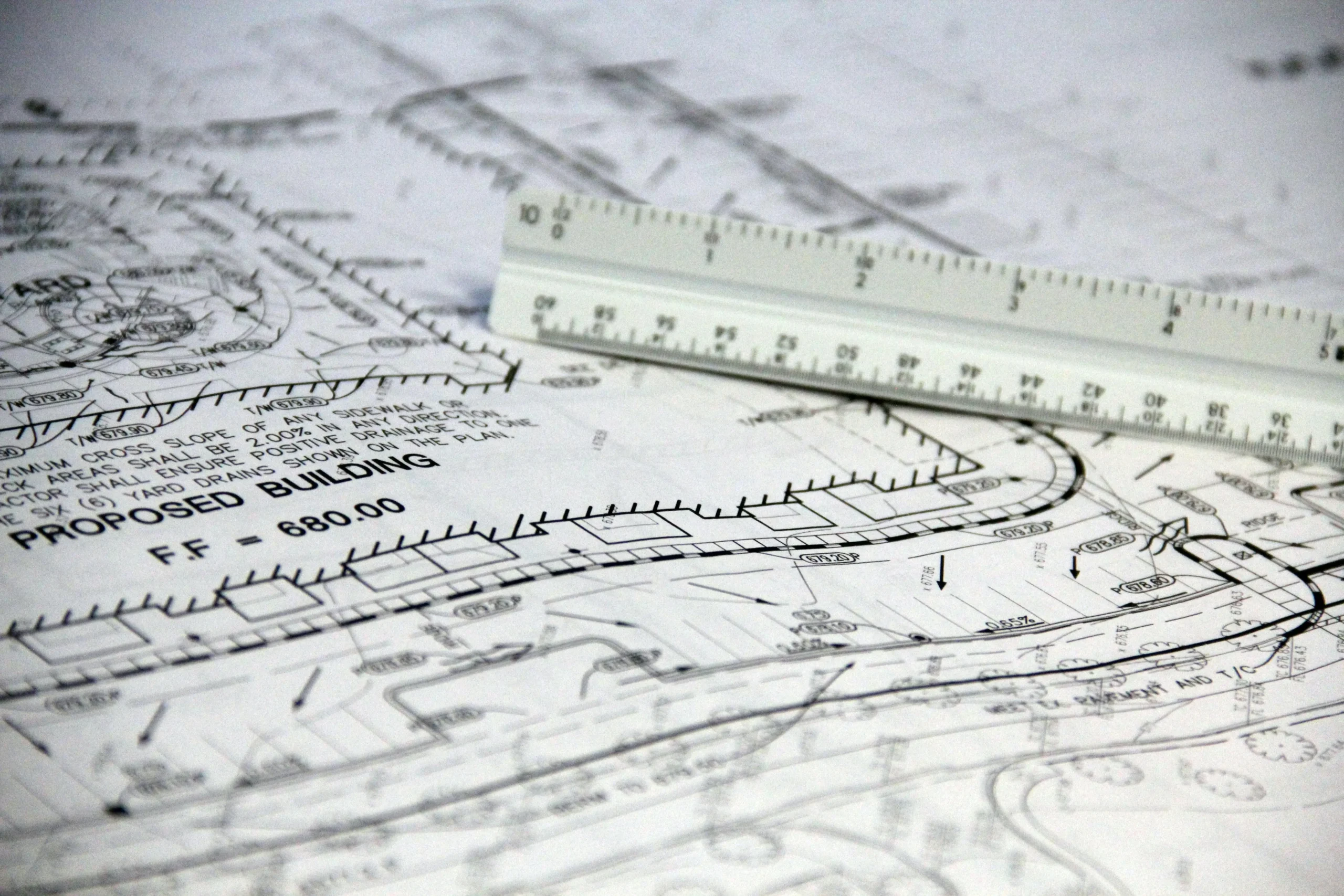
How We Run a DP Area Analysis Before You Spend a Dollar
The first step on every landowner file is a GIS mapping analysis. We pull the City’s published GIS layers (zoning, OCP designation, DP area overlays, environmental constraints, hazard mapping, ALR boundaries, watercourse setbacks, wildfire interface zones) and overlay them with provincial mapping and any site-specific information you have. The output is a clear picture of:
- Every DP area your property sits inside
- What each one requires (studies, consultants, design constraints)
- Which applications you'll need to file (DP, subdivision, rezoning, OCP amendment, ALR application)
- Which consultants you'll need to engage (civil engineer, geotechnical engineer, biologist, surveyor, traffic engineer, environmental professional)
- A realistic budget and timeline before you commit to anything
This is the work that prevents the surprise “by the way, you also need an environmental DP and a geotech report and a biologist’s letter” email from the City three months into your file. We do it first, so you know what you’re getting into.
What Working Together Actually Looks Like
Initial Consultation (Free)
We discuss your property, your goals, and your current status. You leave with preliminary thoughts on feasibility and what would come next.
GIS Mapping & Feasibility Assessment
We pull all applicable GIS layers for your property, identify DP areas, and produce a feasibility report covering what's possible, what's required, who you'll hire, and what it will cost.
Approvals Strategy and Engagement
We sign a development management agreement, confirm the approvals pathway, and run the RFP process to bring in the right consultants.
Consultant Coordination & Application Preparation
We coordinate the engineering, environmental, and planning work, review every deliverable, and assemble the complete application package.
Submission & Municipal Management
We submit to the City, manage the review process, respond to comments, run revisions, and shepherd the file through to approval.
Approvals in Hand, Next Steps Mapped
Subdivision registration, building permits, or whatever your next stage is. We connect you with whoever you need next.
How Ascend Supports Landowners
GIS Mapping & DP Area Screening
The upfront first-meeting check. We pull every applicable GIS layer for your property: zoning, OCP designation, every applicable Development Permit Area, hazard overlays, environmental and watercourse constraints, ALR status, wildfire interface zones, and servicing availability. The output is a clear no-surprises picture of what your property sits inside before any deeper work begins. This step is included in every landowner engagement and informs whether a full feasibility study is the next move or whether we can go straight to the application stage.
Development Feasibility Study
After the GIS screen, if your project needs a deeper picture before you commit to a full application, the Development Feasibility Study is the engagement. We lead the planning and approvals strategy in-house, and coordinate with the City and the right engineering, surveying, geotechnical, or environmental specialists for the preliminary technical input. The output is a recommendation with options, realistic costs, timeline, and next steps: a formal deliverable you can act on, separately scoped and priced from full development management.
A feasibility study is the right move when you’re weighing whether to subdivide, deciding between several possible directions for an inherited or jointly-owned property, or considering whether permitting investment is worth the upside before listing.
Approvals Strategy and Roadmapping
Once we understand your property and your goals, we map out the path forward. Which applications you need (subdivision, rezoning, DP, OCP amendment). Which consultants and studies are required. What the municipal review process looks like for your specific scope. Realistic timelines and costs. You get a roadmap before you start, not after.
Consultant Team Assembly (Including RFP Process)
Most owner-scale projects need three to six specialists: typically some combination of civil engineer, land surveyor, geotechnical engineer, biologist, environmental professional, and architect or designer. The planning and approvals strategy work stays in-house at Ascend, where we run it directly as part of the development management scope.
Application Preparation and Submission
We assemble the complete application package: forms, supporting reports, technical drawings, site plans, justification letters, fee submissions. Complete first submissions move faster than incomplete ones, and the difference often saves months on the file.
Municipal Advocacy and Main Point of Contact
After submission, we become your representative. We respond to City staff comments, coordinate consultant revisions, attend meetings with planning and engineering staff, manage public consultation if it applies, and keep the file moving every week. You stay informed and weigh in on important decisions without having to learn the technical language or chase consultants.
Stalled or Rejected Application Recovery
If you’ve already started a file and it’s stuck or rejected, we can step in. We review your existing submissions and City feedback, diagnose what went wrong, and establish a clear path to resubmission or alternative approach. Most stalled landowner files trace back to coordination gaps and incomplete submissions, both of which are fixable.
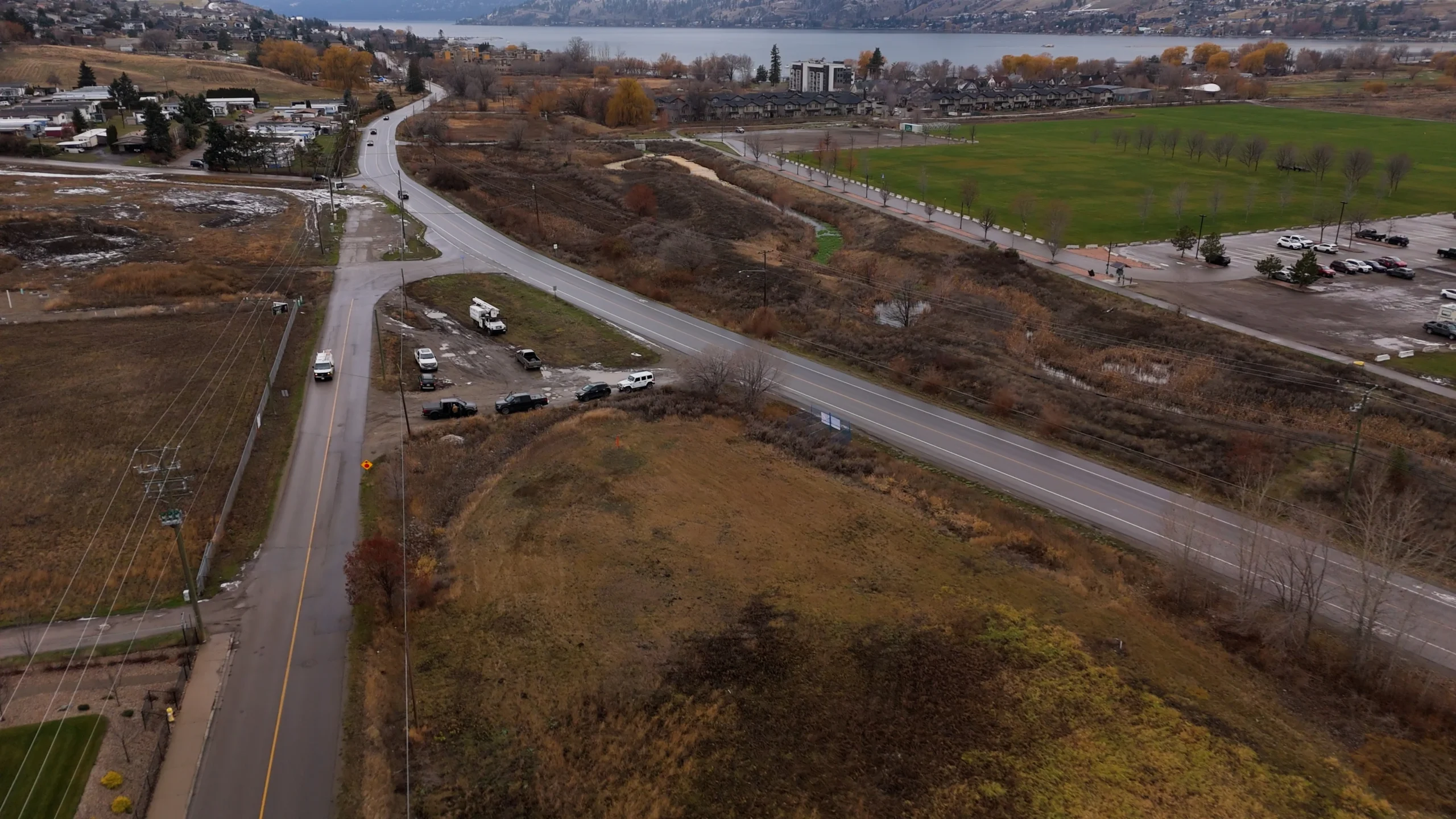
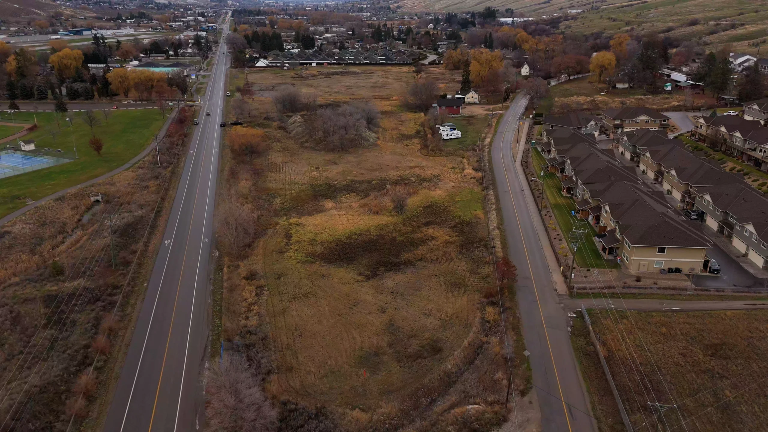
Case Study: Dubbin Road Lakefront/Hillside Property, Kelowna
Why This Matters for Other Property Owners
Dubbin Road is the example we point to when we explain what it actually looks like to have a Development Manager in your corner for a smaller-scale, owner-driven project. The owner needed a driveway. Behind the driveway sat one DP applications, three specialist firms (Protech Consultants, GeoPacific, and OK EHS), a civil contractor, an RFP process, and ongoing coordination with the City of Kelowna. That’s typical of what owner-scale files actually involve once you begin diving in. That level of coordination across consultants, contractors, and City staff is what we’re built for. You stay focused on the property and watching your vision come to life. We run the file.
The Setup
The property sits on a lakefront hillside area off Dubbin Road in Kelowna. The owner needed to create a new driveway from Dubbin Road onto the property to access the site. Two Development Permits were required before any work could begin: a Hazardous Condition Development Permit (because of the hillside slope and natural-hazard considerations) and an Environmental Development Permit (because of the property’s environmentally sensitive setting on the lake). Without both permits in hand, the City of Kelowna would not approve the driveway construction.
For an individual property owner, this is the scenario where the gap shows up. Two distinct DP applications, two different technical specialist scopes, multiple consultants required, coordination with a contractor for the actual driveway work, and a City review process with multiple departments that runs in parallel across both files.
What Ascend Did
We were engaged as the lead on the application process and took the file from kickoff to submission. The work broke down as follows:
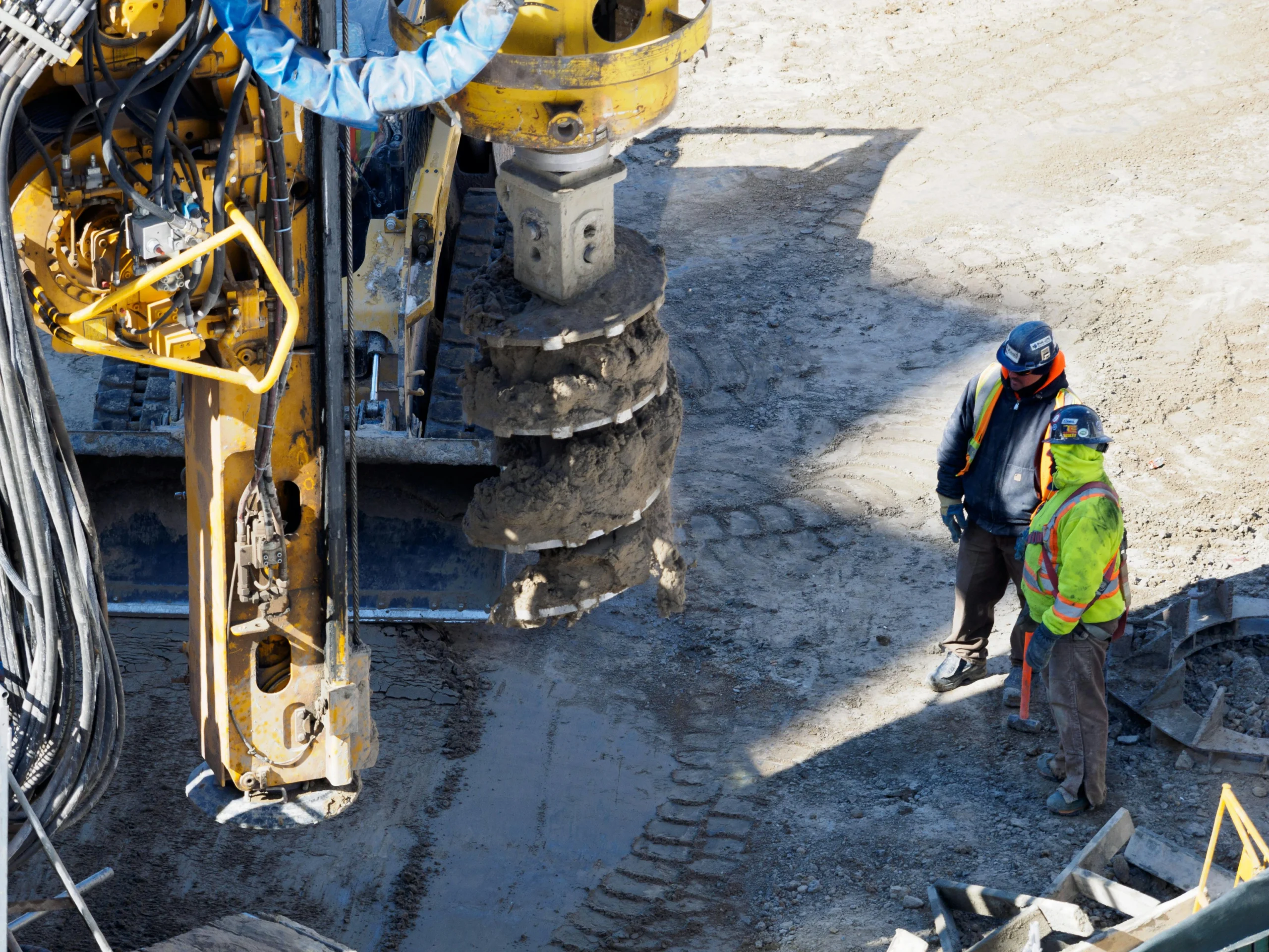
RFP for the Civil and Geotechnical Engineers. Both permits required specific engineering analysis and supporting site plans. We ran an RFP process to identify and engage the right specialists for the property’s specific conditions. The owner approved the selection and the budgets. Protech Consultants was engaged for the civil engineering scope (driveway alignment, stormwater management, site servicing design) and GeoPacific for the geotechnical scope (slope stability, hazard assessment, foundation conditions).
Coordination of the Engineering Work. Once Protech and GeoPacific were hired, we worked alongside them through the analysis phase: site visits, slope and hazard assessment, environmental review, civil design for the driveway alignment and stormwater management, and the production of site plans suitable for inclusion in the DP applications. Their work fed into the application package directly.
Coordination with the Biologist and Civil Contractor. The Environmental DP required input from a qualified biologist. OK EHS was hired to assess the environmentally sensitive features of the site and recommend mitigation measures the application would commit to. The civil contractor (who would eventually build the driveway) was brought into the conversation early so the construction methodology matched what we were committing to in the permit application.
Single Point of Contact for the Owner. Throughout the process, the property owner had one person to call, one email thread, and one weekly update. The owner did not coordinate consultants, did not chase deliverables, did not translate technical reports, and did not negotiate with City staff. That was our job.
Complete Application Submitted to the City of Kelowna. The Hazardous Condition DP and the Environmental DP application were assembled and submitted to the City of Kelowna for review. The DP was approved in 8 weeks from the time we were hired to manage the application process and other consultant deliverables.
The Situation
[This is where your second case study will go. If you have a strata or unique project, describe the situation. If not, use another individual property owner story. Explain what they wanted to accomplish and why it was complex or challenging.]
What We Did
[Detail your role, the coordination you managed, the expertise you brought, and how you navigated the specific challenges this project presented.]
The Result
[Share the outcome or current status. What value did you create for the property owner or strata? Where does the project stand now?]
Why Property Owners Hire Ascend
We Know What Your Property Sits Inside
Every landowner file starts with the GIS analysis. By the end of the first meeting, you know which DP areas apply to your property, what each one requires, and what the realistic budget looks like. No surprises later in the process.
We Translate Everything
Municipal bylaws, technical reports, civil drawings, environmental assessments. We translate all of it into plain language so you understand what's being decided and why. You don't have to learn the vocabulary to make good decisions about your own property.
Your Dedicated Development Manager
Start to Finish every landowner file has one dedicated Development Manager: your single point of contact from first call through permit issuance. One email thread. Onew weekly update. No handoffs between sales and delivery, no losing context between phases.
We Have Municipal Relationships
We've worked with City planning, engineering, and environmental staff across dozens of files. We know who reviews what, what each department prioritizes, and how to position a request so it gets a fair hearing. For a property owner doing this for the first time, that relational capital is one of the quietest but most meaningful advantages on the table.
We Assemble the Right Team
You don't have to find a civil engineer, vet a geotechnical engineer, or wonder which biologist the City prefers. We run the RFP process and bring in the specialists we trust to deliver on the timelines your project actually needs.
We Stay Small Enough to Care About Small Files
Many Kelowna development consultants only take large developer files because that's where the recurring revenue is. We deliberately keep room on the calendar for owner-scale work because the operational principles are the same and these files are often the most rewarding to run.
Questions Property Owners Ask Us
A Development Permit Area (DP Area) is a designation set out in the municipality’s Official Community Plan that triggers extra requirements before the City will issue a permit. There are several types in the Okanagan: Hazardous Condition (hillside, slope, rockfall), Environmental (sensitive ecosystems), Watercourse / Riparian, Hillside, Form and Character, Wildfire Hazard, and others.
A single property can sit in multiple DP areas at once. Most property owners don’t know any of this until they apply and the City sends a deficiency letter listing requirements they’d never heard of. Our GIS mapping analysis identifies every applicable DP area on your property in the first meeting, so you know up front what you’re dealing with.
A development feasibility study is a scoped engagement that answers the question what’s actually possible with this property? before you commit to a full application. The deliverable is a recommendation document that covers:
- Every applicable zoning, OCP, and Development Permit Area on the property
- The realistic development options (subdivide, rezone, hold, position for sale, or some combination)
- Engineering and servicing considerations for each option (typically with preliminary input from a civil or geotechnical engineer where the property warrants it)
- City of Kelowna (or other municipality) policy direction relevant to the file
- Realistic costs and timelines for each option
- A clear next-step recommendation you can act on
Fees vary based on the scope of the property, the level of engineering input required, and whether City verification is included in scope. We provide a transparent fee proposal after the initial consultation, and the feasibility study is priced and engaged separately from any downstream development management work. Many owners find the study saves more than it costs by clarifying upfront which direction is realistic and which one would have been an expensive detour.
It depends on your property. If your property sits in a Hazardous Condition DP Area (hillside, steep slope), Environmental DP Area, or Watercourse DP Area, a new driveway or significant access change usually triggers a DP application. The Dubbin Road case study above is a Kelowna example where both a Hazardous Condition DP and an Environmental DP were required before the driveway could be built. We run the GIS analysis upfront so you know whether you need a DP before you start any work.
Subdivision potential depends on several factors: current zoning, lot dimensions and frontage, OCP designation, servicing availability (water, sewer, road access), and applicable DP areas. Some properties can subdivide under existing zoning. Others need rezoning or an OCP amendment first. Our GIS-based feasibility assessment reviews all the relevant factors and tells you up front whether subdivision is realistic, what it would involve, and what it would cost.
If your property is in a Hazardous Condition DP Area (most hillside, lakefront, or sloped properties in Kelowna are), the answer is usually yes. The geotechnical report supports the DP application by analyzing slope stability, drainage, foundation conditions, and any natural hazards. Our GIS analysis tells you on day one whether a geotechnical report will be required.
Rezoning typically runs 9 to 18 months in Kelowna and other Okanagan municipalities, depending on complexity and whether an OCP amendment is also required. Simpler zoning amendments aligned with the current OCP designation move faster (often 9 to 12 months). Applications that need an OCP amendment, extensive studies, or significant public consultation typically take 12 to 18 months or longer.
An Official Community Plan (OCP) amendment changes your property’s long-term land use designation in the municipality’s growth policy framework. Rezoning changes the actual zoning bylaw to permit specific development. If your project doesn’t fit your property’s current OCP designation, you need an OCP amendment before or alongside the rezoning. OCP amendments take longer and require more justification because they represent policy-level changes rather than just bylaw updates.
We handle it. We run an RFP process to identify the right specialists for your specific scope, recommend who to engage, define their deliverables, and manage their work. You approve the selection and budget. You don’t have to figure out who to call or which consultant is qualified for what. The planning and approvals strategy work itself stays with Ascend as part of the development management scope.
Yes. We step into stalled or rejected applications regularly. We review your existing submissions and the City’s feedback, diagnose what went wrong, and establish a clear path forward. Most rejected landowner applications trace back to incomplete submissions, missing technical reports, or misalignment between consultant deliverables and the City’s actual requirements. All of those are fixable.
Fees vary based on the scope of your project, the complexity of the applications, the consultants required, and the realistic timeline. We provide transparent fee proposals after the initial consultation and the GIS analysis, so you know exactly what you’re committing to before you sign anything. Professional development management on owner-scale files typically saves more than it costs by preventing consultant rework, avoiding deficiency-letter cycles, and getting the application complete on the first submission.
Kelowna, Vernon, Lake Country, West Kelowna, Penticton, Peachland, and other Okanagan municipalities. We also work across British Columbia for property owners with larger or more complex files. Book a Consultation to discuss your property and your situation.

Ready to Figure Out How to Achieve Your Property Goals?
Book a consultation and we'll walk through your goals, run a quick GIS check on your property, and tell you straight up what's possible and what it would take.
